Famine, Fjord, Fiesta, Fauna, Flowers
Here's a picture you'll see below just to get this stupid Blogger platform to use it as the headline image for this post...

After she fed us, we left the Brummie behind and headed west, still in County Mayo, riding the coast toward Killadoon. Here was our route along the Wild Atlantic Way today...

This was a short-driving day. If one barreled through the bouncy R-class roads ("R" is Gaelic for "bumpy") at the posted 80 KPH and 100 KPH speed limits - and survived without hitting a truck, sheep, or fist of a wife about to vomit - this could, theoretically, be only a two-hour drive. This allowed us to take many more pictures than usual! If you're tracking our time, we started our two-hour drive at 9:07 am.
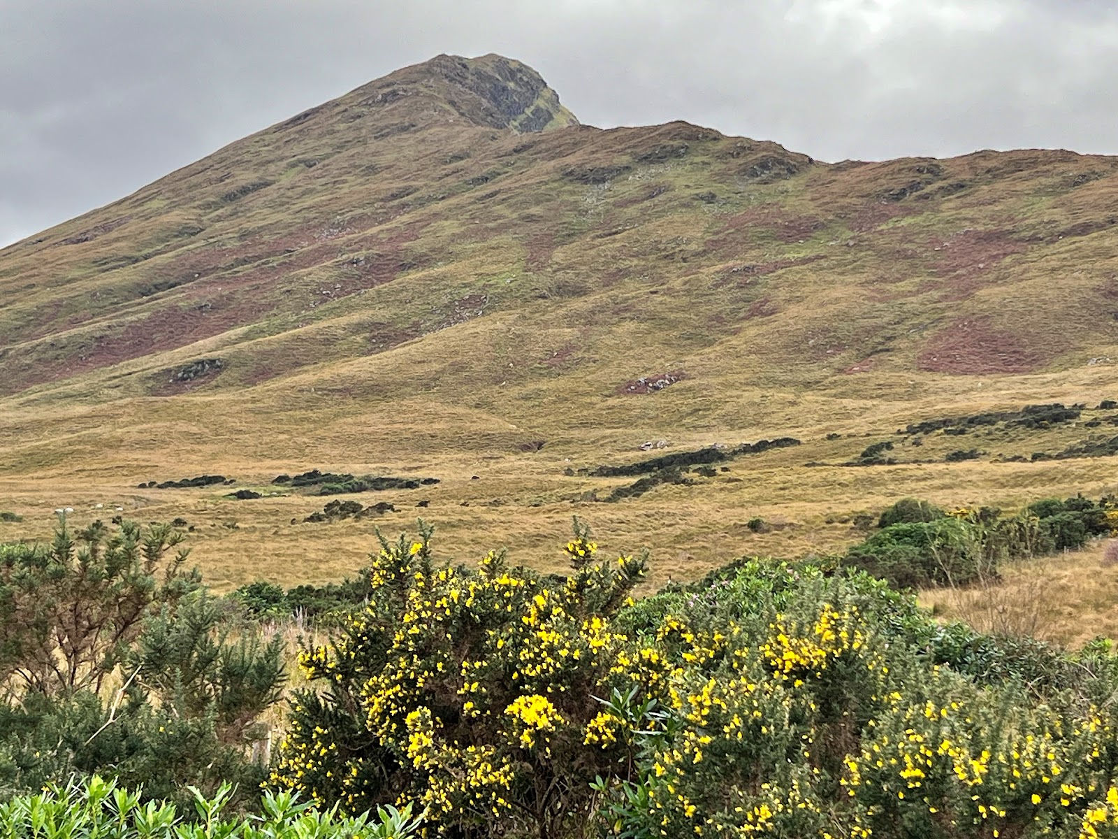
On the left side were some pretty mountains with windswept clouds hugging them. 
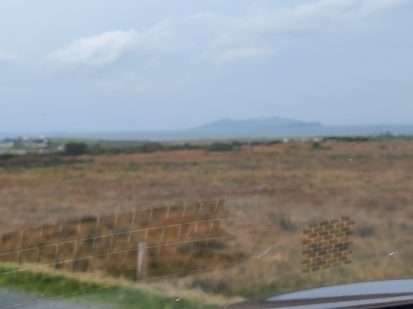
Seen intermittently on the right for almost the entire way to Killadoon was water. Here's some of Dad's greatest attempts to capture the beauty of the Atlantic...

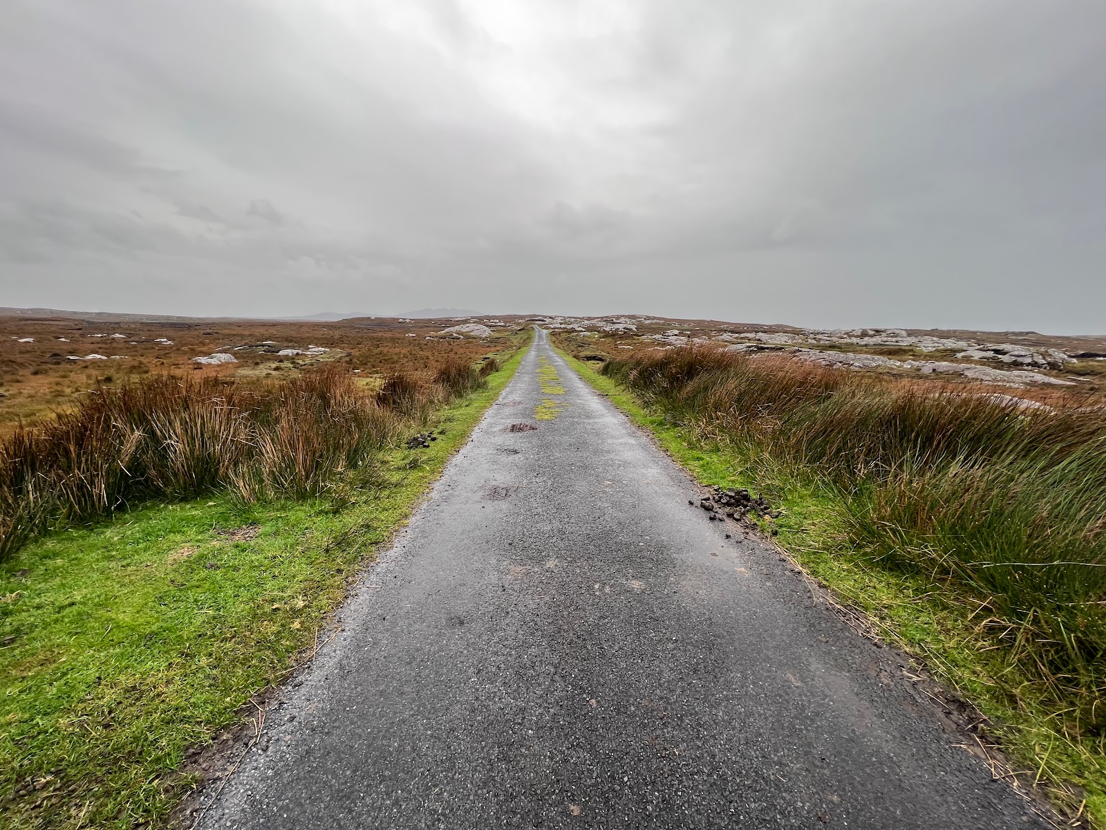
Only 40 minutes into our two-hour drive, we made it through some little towns to the dead-end road in the village of Killadoon from which I'd chosen to take a few pictures, one of which was okay:
After that, we raced - at 40 KPH because the road got bumpy and curvy and I didn't want to wear vomit sourced from the back seat - southward through the countryside.


As you can see, our luck with the sunshine had finally run out but, while the weather was fairly mild up until now, by the time we got down from the hills and into the Doolough Valley - also holding the very scenic Doo Lough ("Black Lake") - and its dark history of the Doolough Tragedy during the Great Famine, the wind through the valley was tremendous!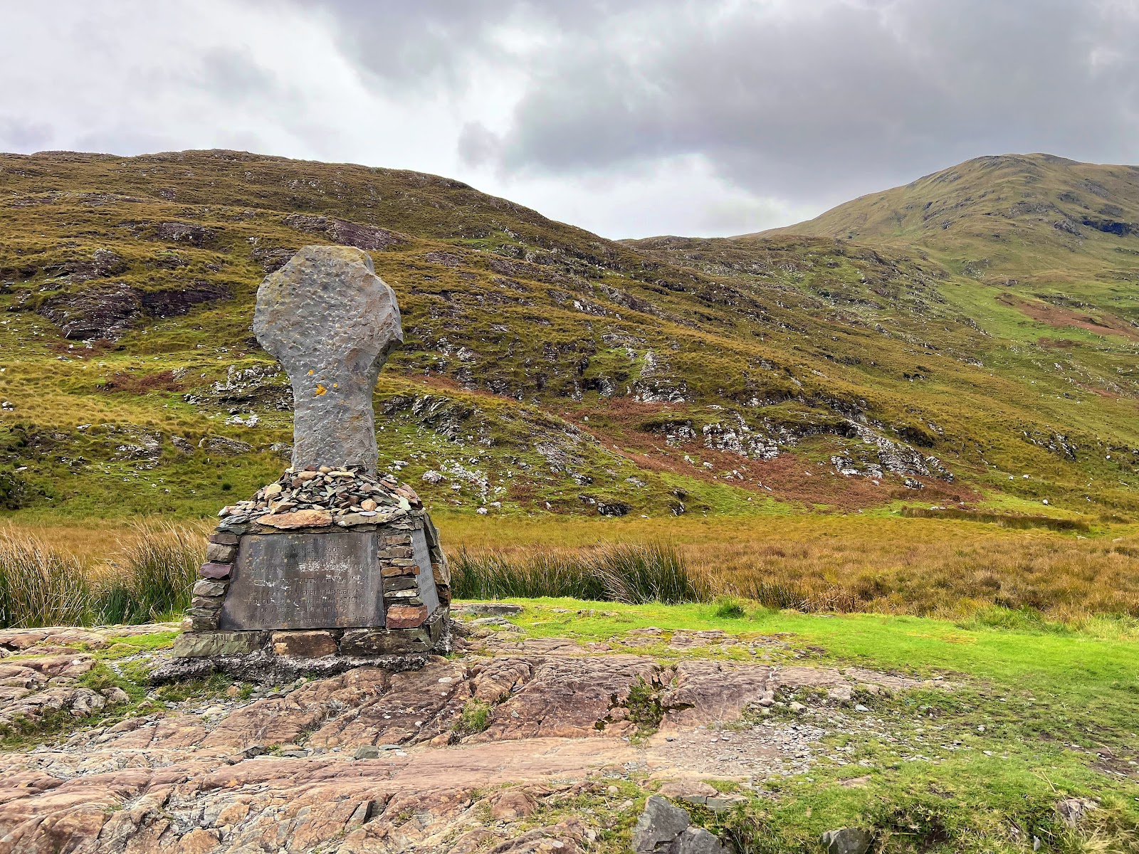


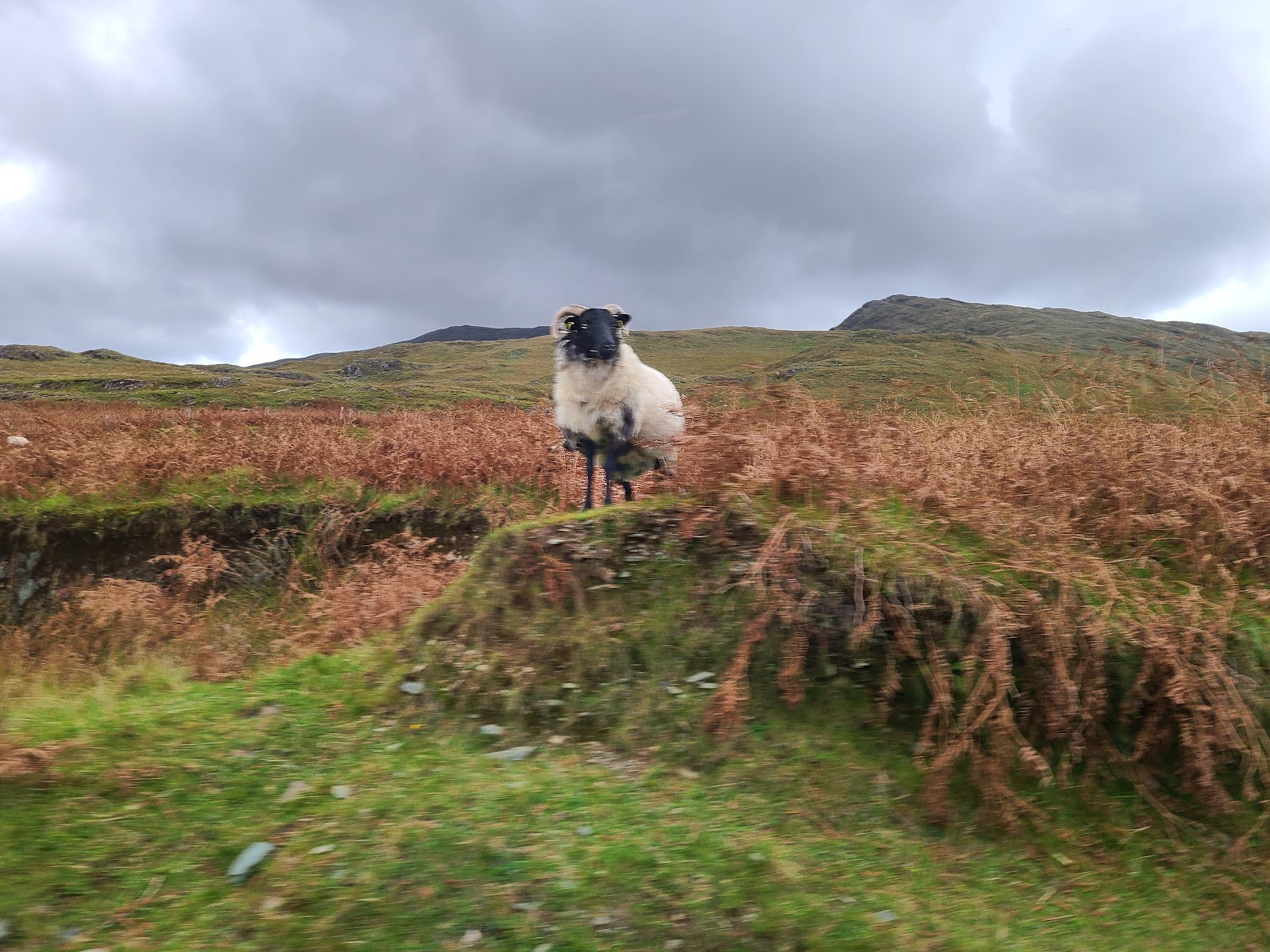
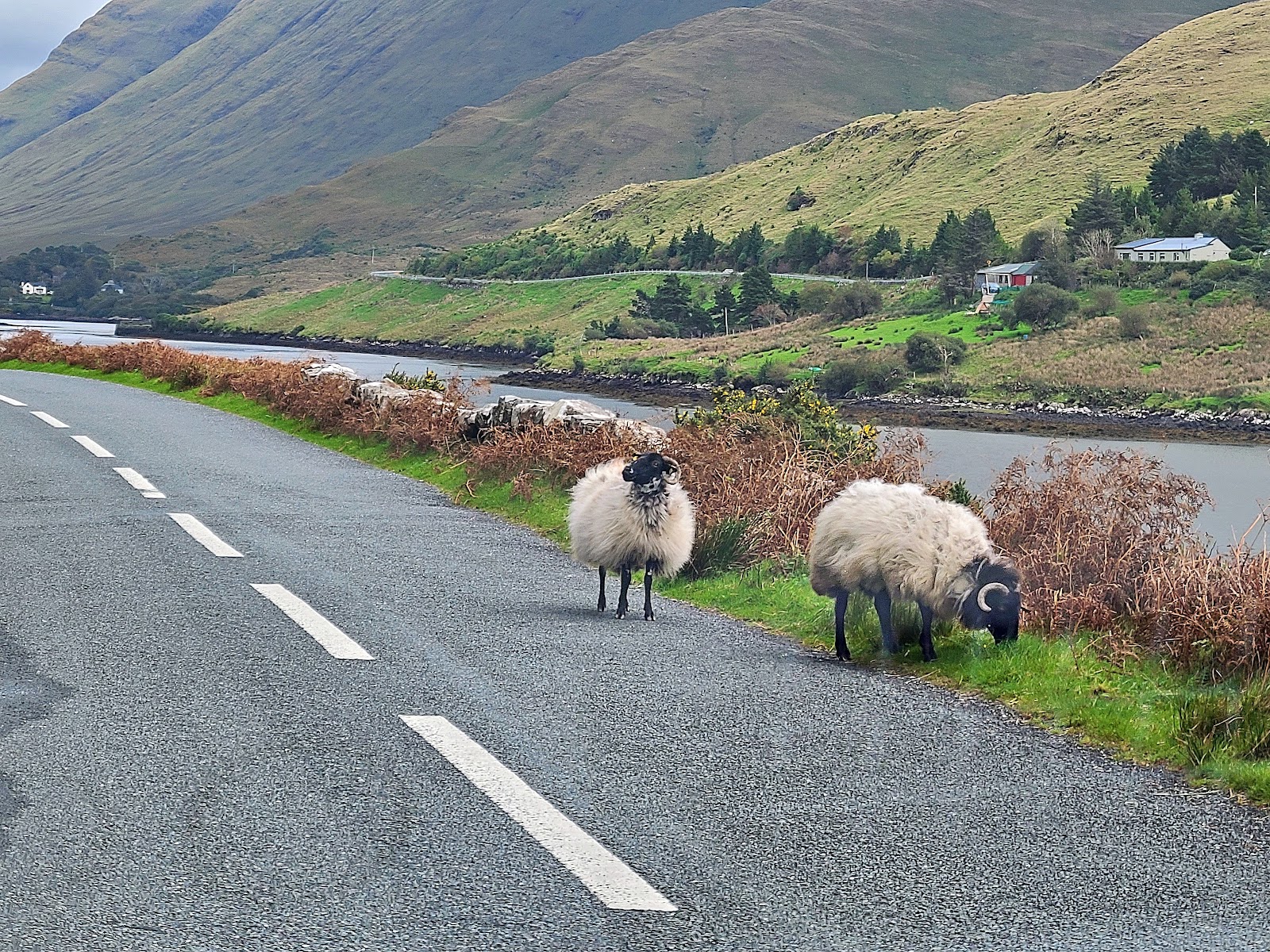
It was about here that the sheep started getting braver. If you had to fend for yourself out here with only an identifying bright color spray-painted on your back, you wouldn't take shit from anyone, either!

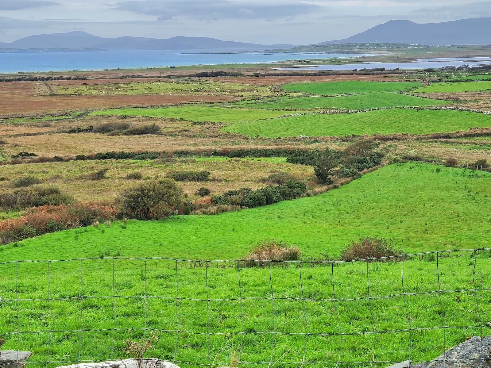
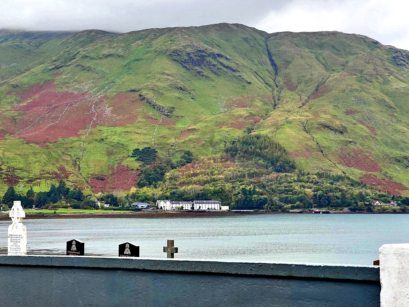
Just a few minutes later into our two-hour drive, the valley ended and we turned eastward along the northern edge of Killary Fjord. If you're getting tired of big, green mountains overlooking water under grey skies, you might want to skip ahead a bit. 

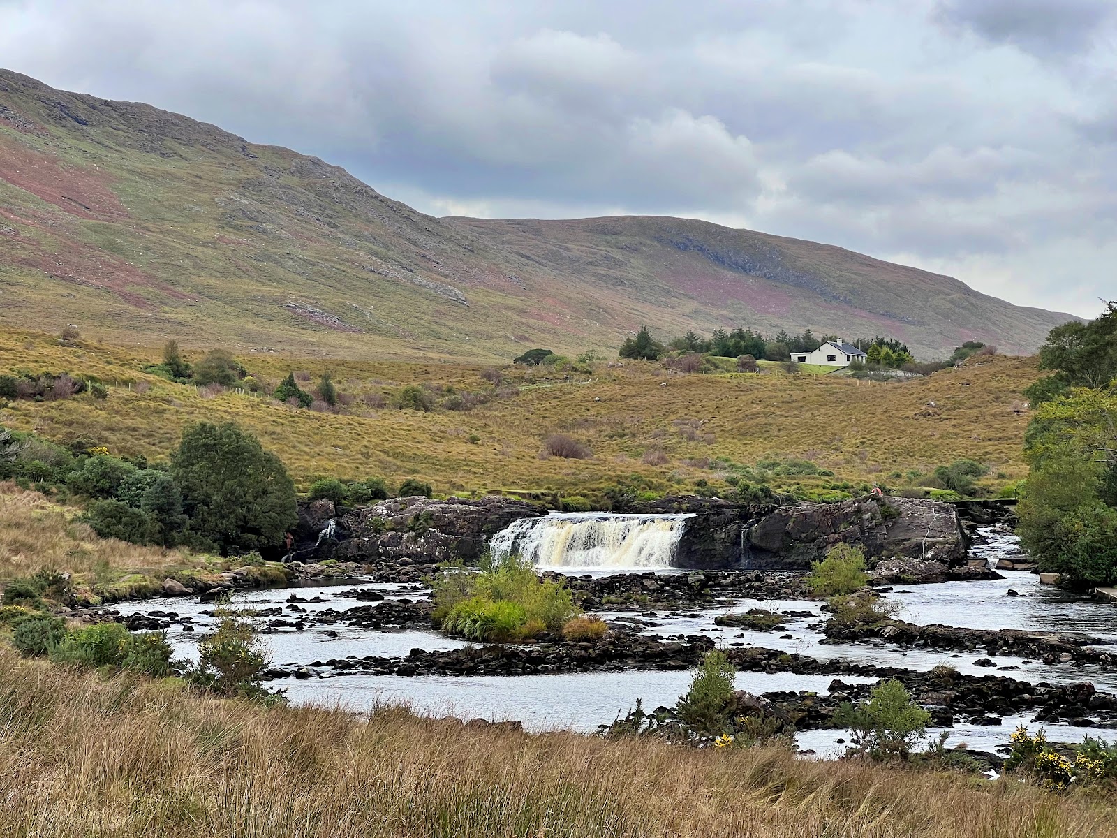 Above: Aasleagh Falls on the River Erriff.
As we turned from the R-class road onto the N-class ("N" means "less bumpy") road, we crossed the River Erriff and headed around the western end of the fjord, past Leenaun Graveyard - yes, I know the sign says "Leenane" but all the maps say "Leenaun" - at St Michael's Roman Catholic Church and, suddenly, we were in County Galway and the sun came out!

Okay, that's a lie, but the above picture from the Internet is much better than the one I took.

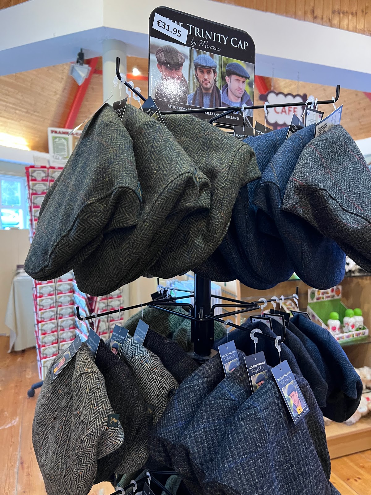
Then we stopped at the Connemara Sheep and Wool Centre for a snack and a wool trinity cap.


Back on the road again, we saw - wait for it! - *even more* big, green mountains overlooking water under grey skies!


Once back outside, we saw some of the estate's other features such as the chocolate factory...


Then, after a quick shuttle-bus ride through pretty woods...

We reached the Connemara ponies!


Near the cafe, there's also a fairy garden. What? Did I just say those words?

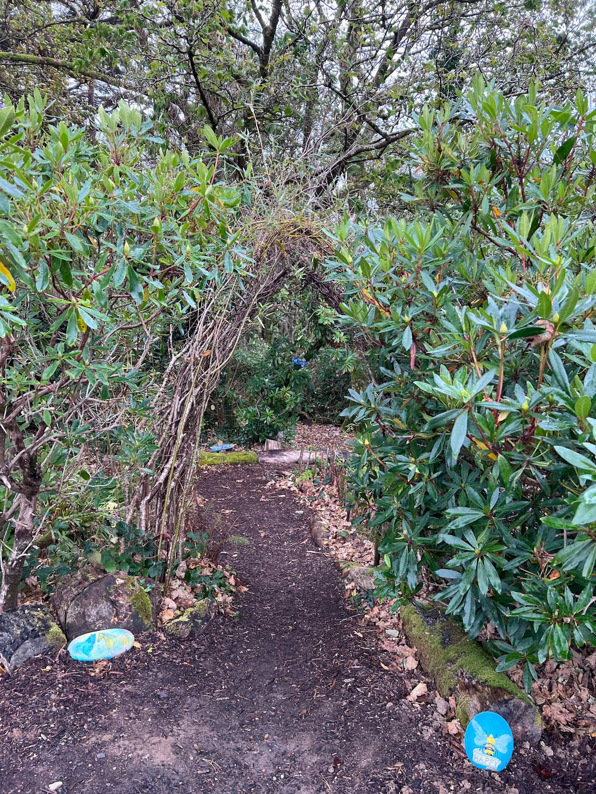


There were plenty more pictures but some of them had fairies in them who hadn't told their parents yet.
Similarly, Kylemore has a Neo-Gothic church that was on the other side of the abbey, but one of the fairies told me that the Leprechauns store their gold in there and that if I were caught trying to enter, they'd eat me. (And besides, the rain and cold were so bad that I lost interest in going to yet another church.)


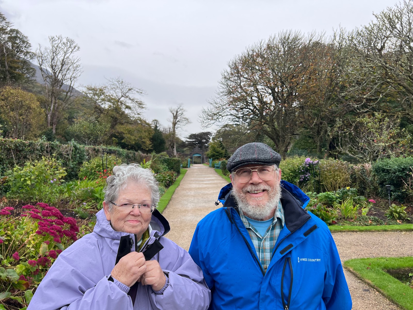
After three of us warmed up and Dad had his daily ice cream, we dodged all the hungry Leprechauns and raced back to the car, stopping only at the entrance to the national park up the street to take this picture as evidence that we were there, yet with absolutely no interest in getting cold(er) and wet(ter), nor extending our strictly-two-hour drive.


 It was *not* this.


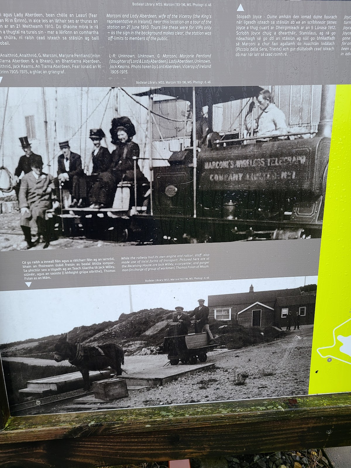
The real reason why we settled for the night in Clifden was that the nearby coastal area of Derrigimlagh - it just rolls off the tongue - was the site of the Marconi station used as the first commercial trans-Atlantic radio transmission station in 1907, sending radio messages to an opposing station in Glace Bay, Nova Scotia, Canada. (It wasn't the site of the first messages Marconi sent as the proof of concept with even the first of those being suspect.)


JUST KIDDING! There was no road then. It was more like this before he built a railway at the site to get the heavy equipment out to the cliff.


Sites such as this wound up being important for other reasons, becoming (for example) crucial for radio communications during shipwreck emergencies. In fact, it's often been said - at least when I read it for the first time on the Internet today - that, if it weren't for Marconi's radios, the Titanic and a few shipwrecks before and after it would have resulted in 100% fatality rates. In the Titanic's case, it happened that the senior wireless operator on the Titanic happened to be Jack Phillips, a former Marconi station employee here in Derrigibles or whatever.


After the second tour station, we headed farther toward the cliff.


But after about 10 minutes of wind, Dad said he realized his face hurt from his eyeglasses being pushed into it, and - to quote Jean Shepherd, not for the first time on this trip as Mom & Dad were quite big fans of his - "the old man had had enough."

After that, we went back to the BnB and watched the eclipse.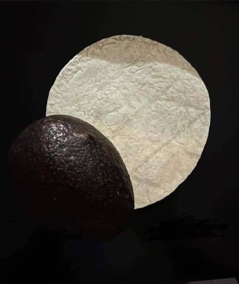
JUST KIDDING!
Tomorrow:
If video import works to this blog, you can see how fast the clouds are moving in this short clip. If it doesn't work, you'll see:
After that, we raced - at 40 KPH because the road got bumpy and curvy and I didn't want to wear vomit sourced from the back seat - southward through the countryside.
As you can see, our luck with the sunshine had finally run out but, while the weather was fairly mild up until now, by the time we got down from the hills and into the Doolough Valley - also holding the very scenic Doo Lough ("Black Lake") - and its dark history of the Doolough Tragedy during the Great Famine, the wind through the valley was tremendous!
Above: Still on the northern edge
Above: Looking west down the fjord
The pic on Wikipedia was obviously taken from the same spot.
Above: Officially entering the Connemara area.
Okay, that's a lie, but the above picture from the Internet is much better than the one I took.
Above: The cap Dad bought.
Back on the road again, we saw - wait for it! - *even more* big, green mountains overlooking water under grey skies!
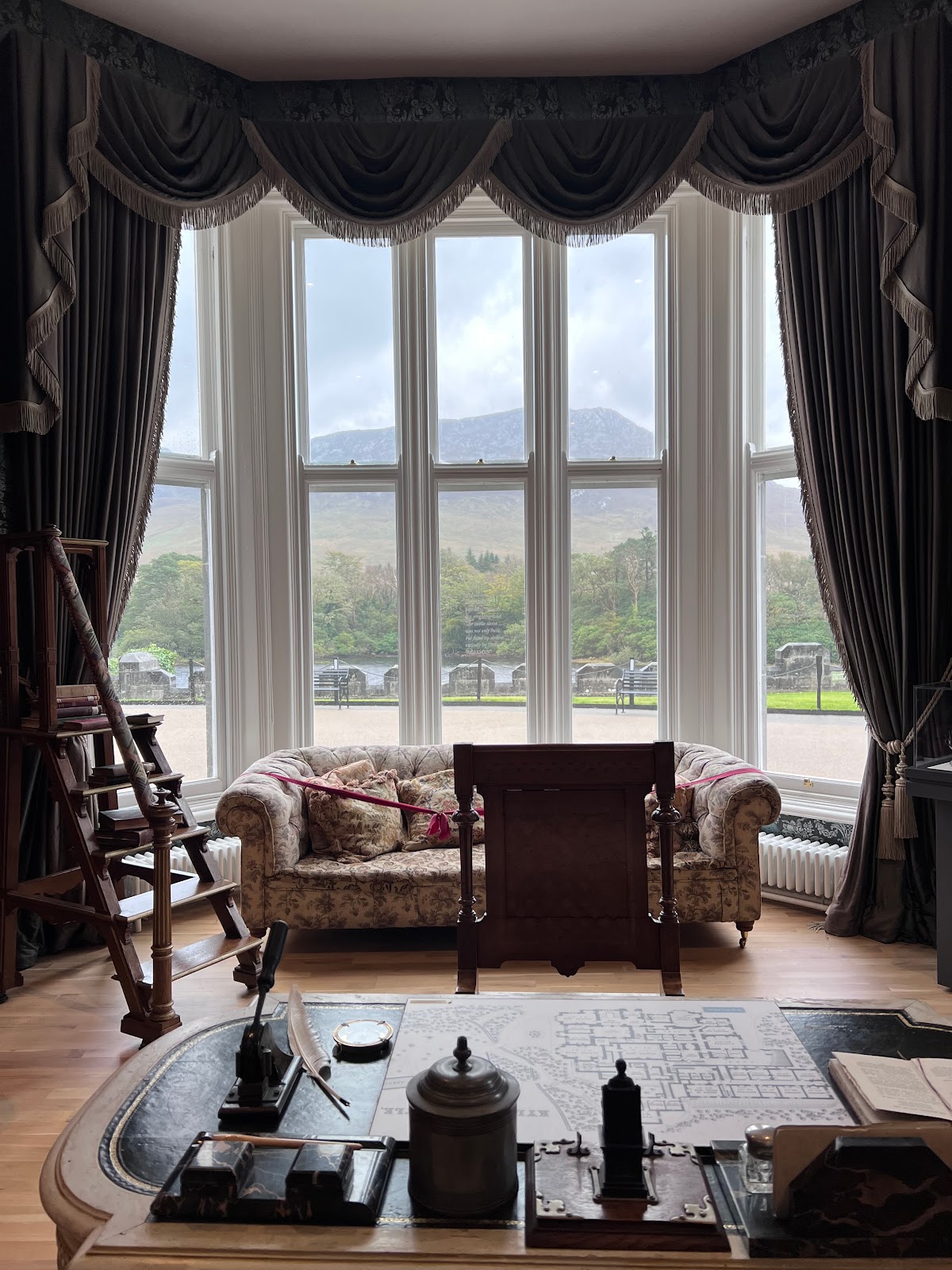
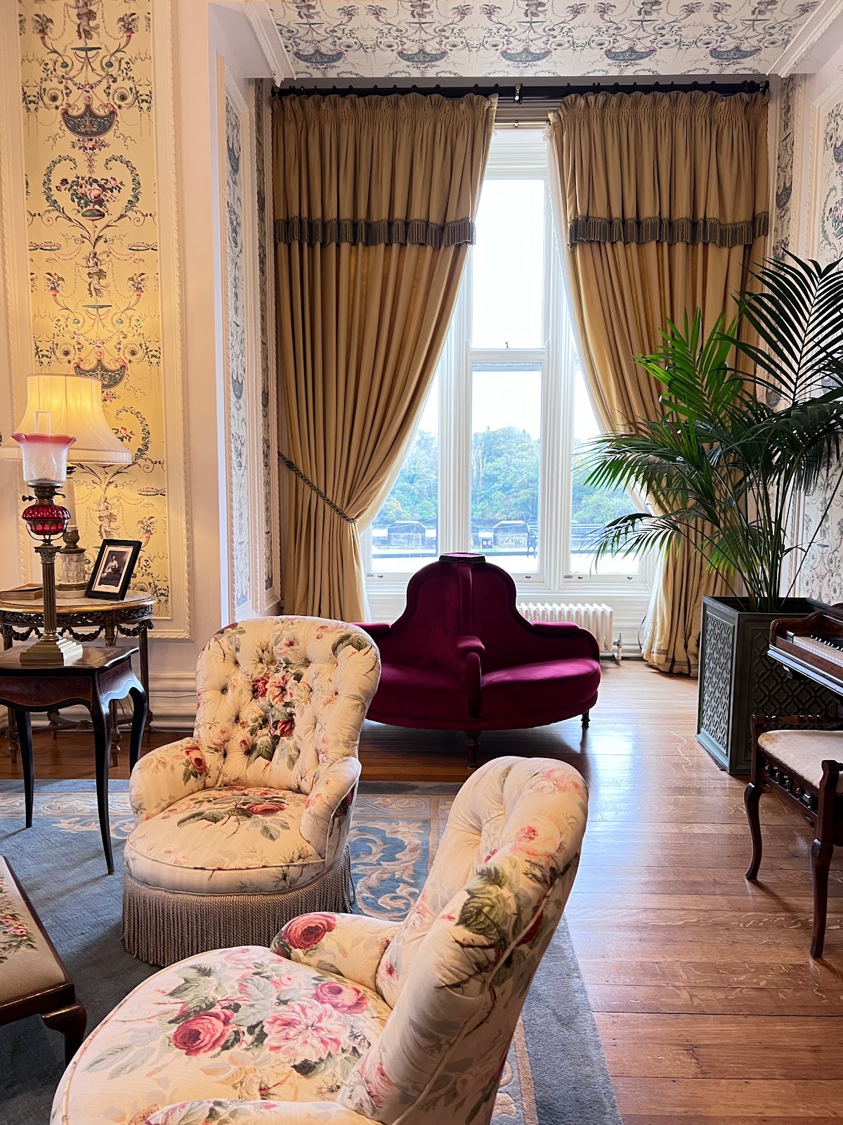
By the time we got to Kylemore Abbey - only three hours and 40 minutes into our two-hour drive - the rain and wind were pounding.
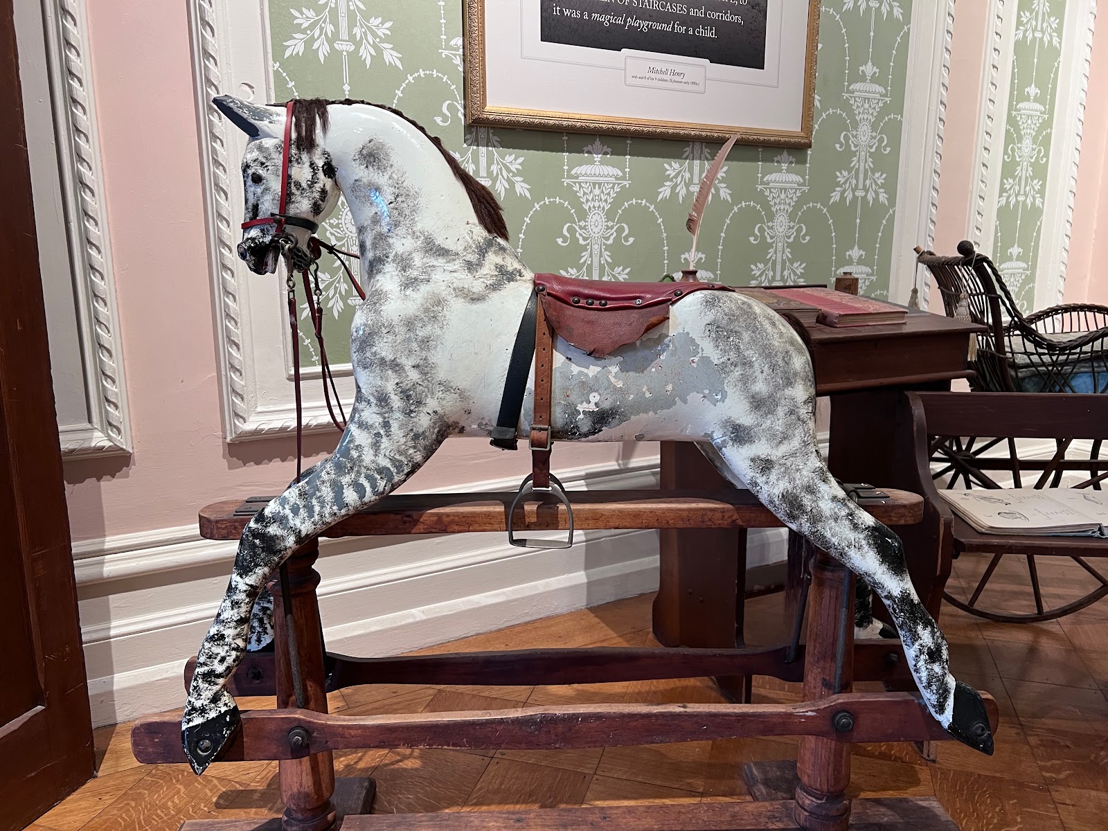
On the Internet, you can read all about the abbey's history as the castle (built by Irish under duress) of some English lord (Mitchell Henry) until about 1920 when the Irish War of Independence happened - a fact mostly left out of the on-site signage - and, rather than burn this house down like the British did to most of the country on the way out, they instead cut a deal with the Benedictine Nuns to take over the property in 1921.
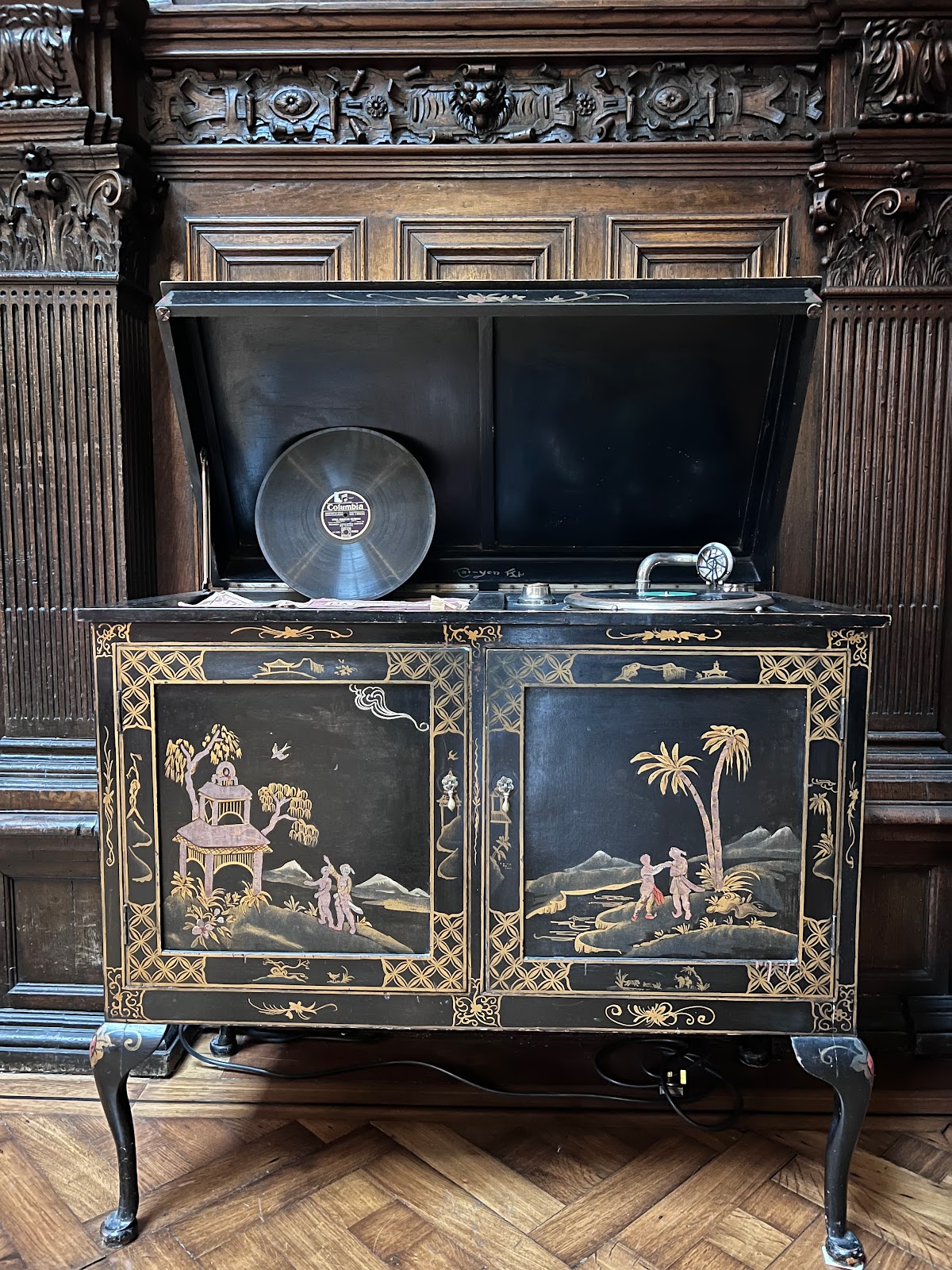
The self-tour of the inside doesn't give access to everything but it's enough to make the point.
Then, after a quick shuttle-bus ride through pretty woods...
Above: Papa's got a brand-new cap.
There's a reason James Brown didn't use that noun.
Above: In case you weren't sure where the Fetlock is. DUHHHH!
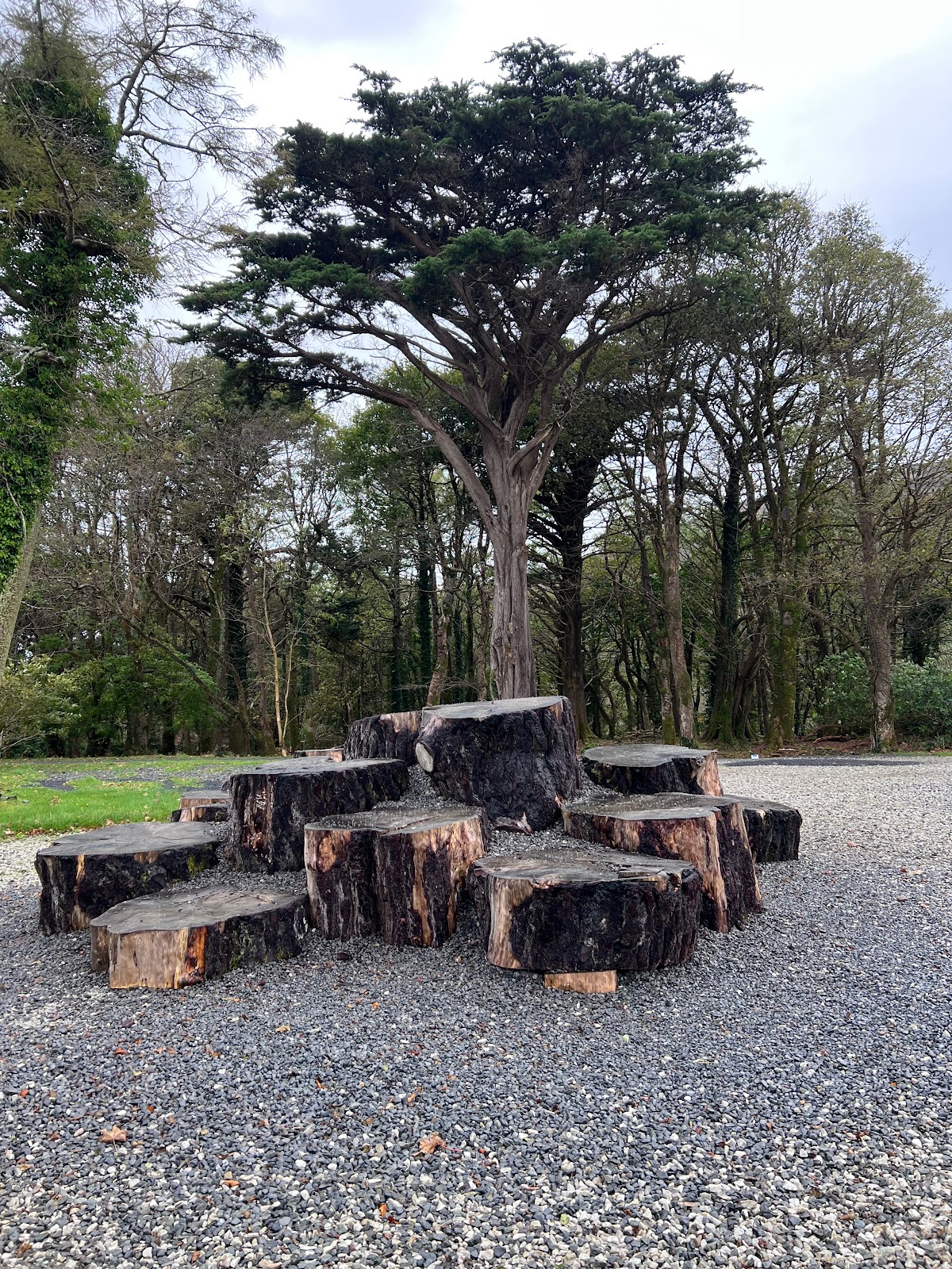
Above: Just a sculpture made from old tree trunk pieces.
Meanwhile, Mom - who's a real slut for gardens - made her way to the Victorian Walled Garden.


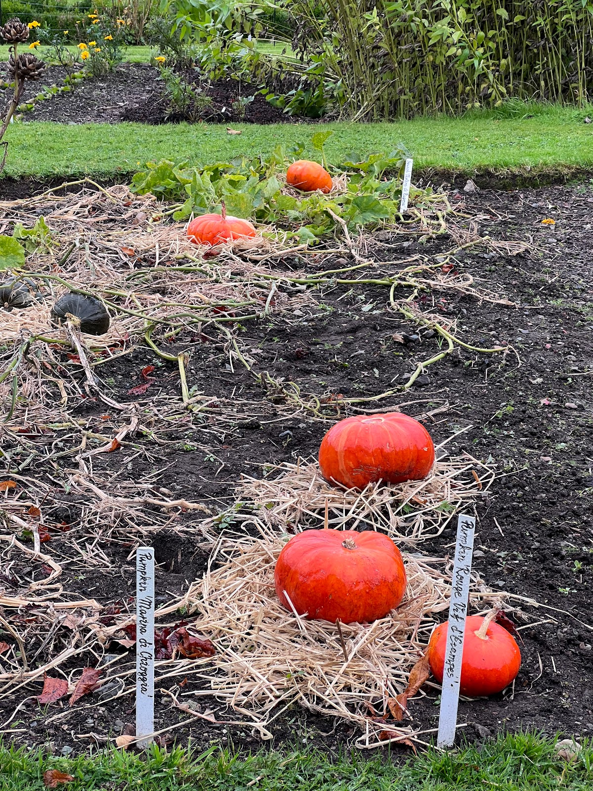


At about this point, my slutty-for-gardens Mom hadn't yet had enough of the cold and rain and wind.
Meanwhile I, a whore for Southern California sunshine who somehow wound up in Ireland, headed back to a warm cafe in the warm cafe where B. was smart enough to wait out most of this experience. Here's some pics I took on the way out.
After three of us warmed up and Dad had his daily ice cream, we dodged all the hungry Leprechauns and raced back to the car, stopping only at the entrance to the national park up the street to take this picture as evidence that we were there, yet with absolutely no interest in getting cold(er) and wet(ter), nor extending our strictly-two-hour drive.
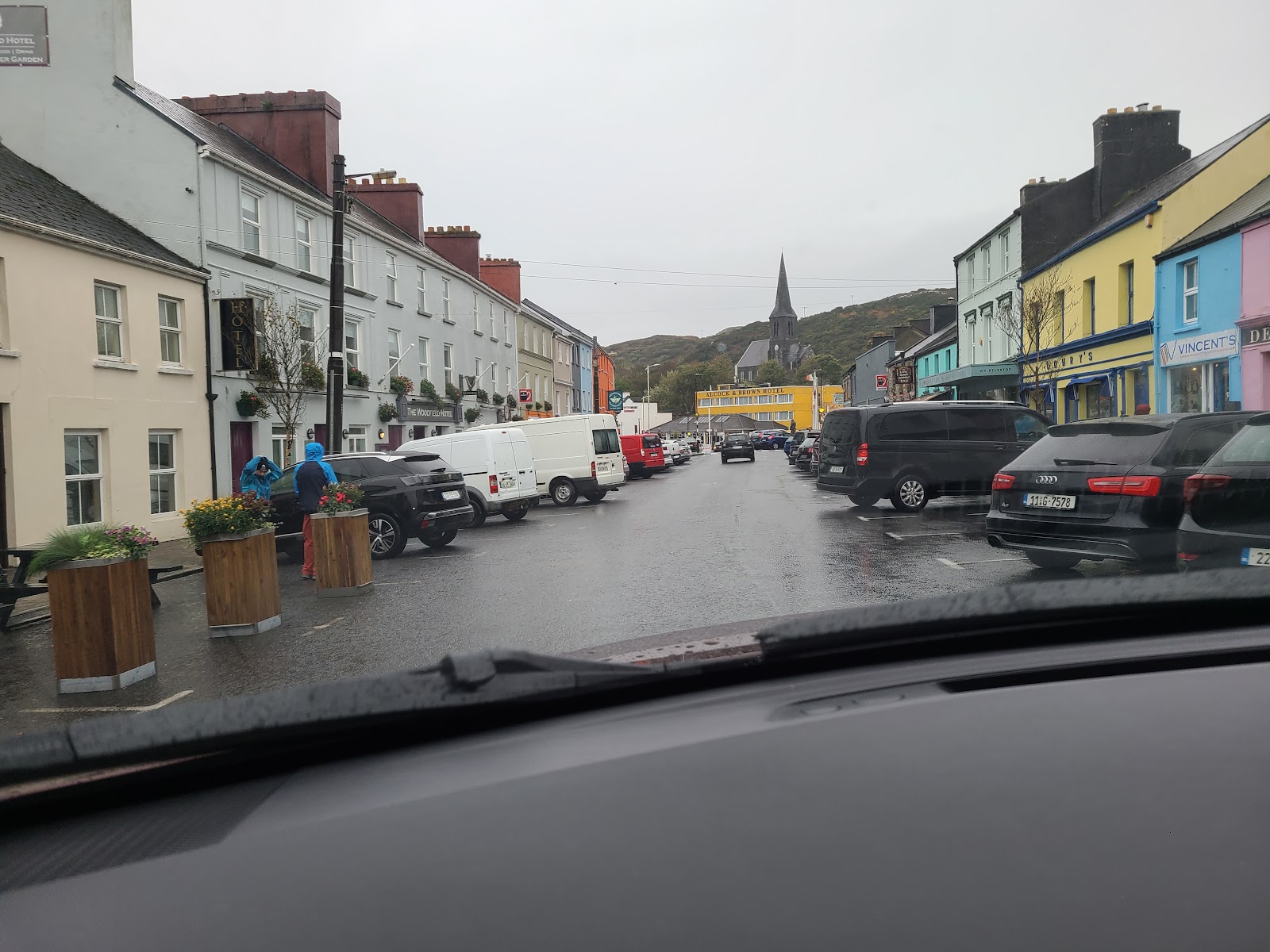
After that, there were only pictures of windshield wipers until we reached our BnB in the west-coast town of Clifden. Our two-hour drive had taken less than seven hours - possibly a new record in brevity for travel involving my parents and me!
Why Clifden? Despite all the sunny pictures in the last link, it obviously wasn't for the weather.
Above: Streamstown Bay from the warm BnB.
It wasn't for the wide roads.
Above: The bridge on tiny Sky Road, Clifden.
It could have been for the fauna but, despite the pretty colors, it wasn't!
The gentle, rolling countryside was endearing.


And the ocean view would have been something better without the rain.
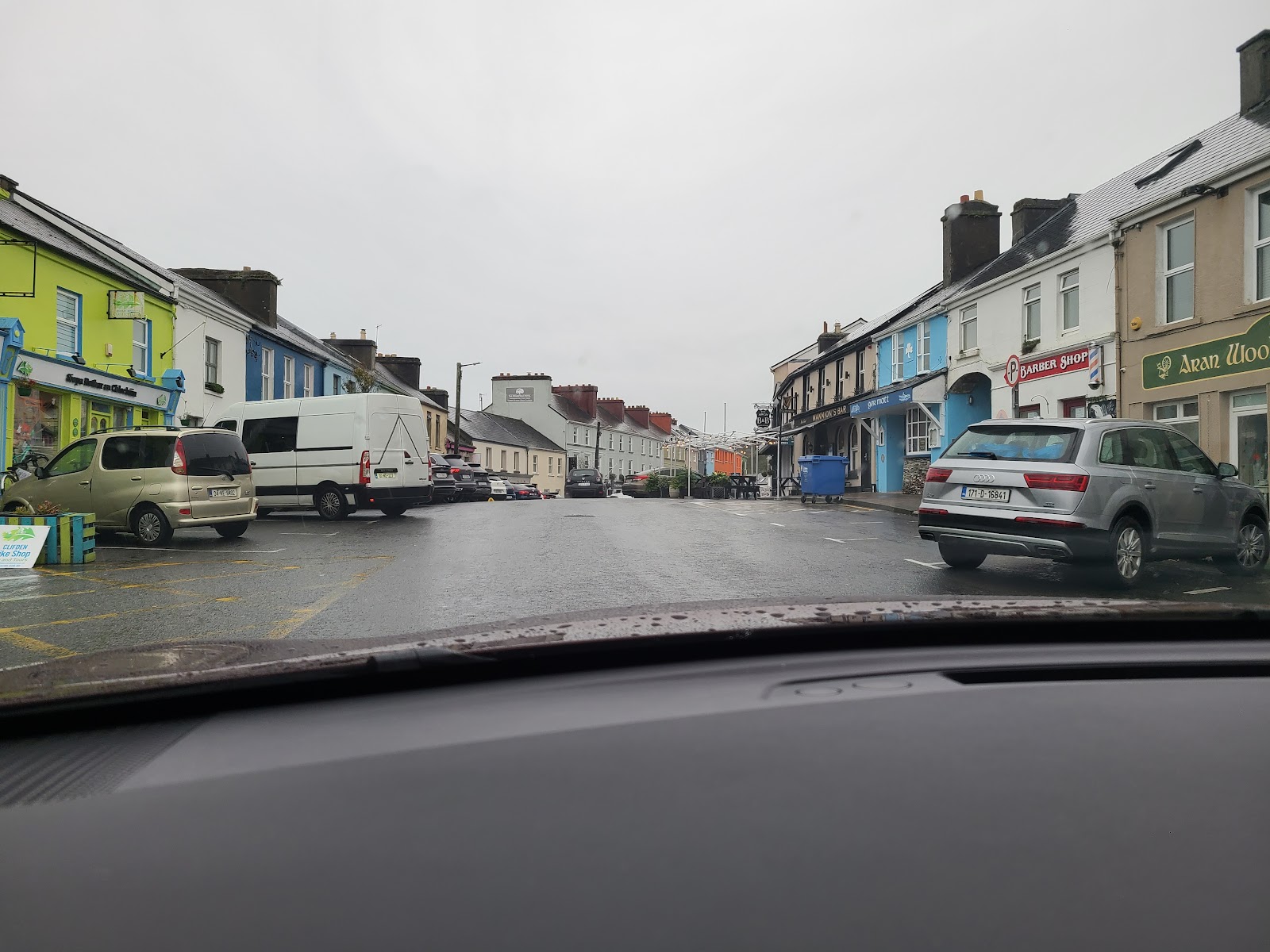
Perhaps it was the adorbz uptown area? Nah, but we did get takeaway dinners there.
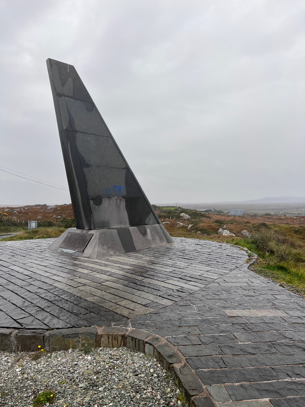
Believe it or not, it wasn't even to see the landing (more like 'crashing') site of the first, non-stop trans-Atlantic flight by Alcock & Brown, though we did stop to see the monument to it! (This was seven years before Lindbergh, the latter having much better marketing skills.)
The real reason why we settled for the night in Clifden was that the nearby coastal area of Derrigimlagh - it just rolls off the tongue - was the site of the Marconi station used as the first commercial trans-Atlantic radio transmission station in 1907, sending radio messages to an opposing station in Glace Bay, Nova Scotia, Canada. (It wasn't the site of the first messages Marconi sent as the proof of concept with even the first of those being suspect.)
This meant that Marconi had to get all this equipment to this remote spot on the west coast of Ireland.
And he had to do it down roads like this...
JUST KIDDING! There was no road then. It was more like this before he built a railway at the site to get the heavy equipment out to the cliff.
I know what you're thinking: It's so wonderful that Dad got to see all the spots on this self-guided tour of Dirigiste (or whatever.) Anyone who knows Dad knows that he grew up living and breathing radio. The reason I was born is that Mom started talking in dits and das one night and Dad's antenna (not pictured^) rose up.
^ - However, if you manage to find aerial pictures from the 1990s of Mom & Dad's old house, you'll see the stop sign I stole^Wacquired as a young buck, left in the basement until Dad mounted it (ahem!) at the top of his back-yard radio tower on a rotating motor, using it as a directional reflector. You can take the man out of his "ham shack," but it always Hertz.
Down the above road we walked, battling the severe headwind and sometimes-pelting rain, getting to the second stop on the Marconi tour of this fine village of Digitalis.
Above: James Joyce came all the way to Clifden to interview Marconi,
but was refused entrance as he didn't have an appontment.
But after about 10 minutes of wind, Dad said he realized his face hurt from his eyeglasses being pushed into it, and - to quote Jean Shepherd, not for the first time on this trip as Mom & Dad were quite big fans of his - "the old man had had enough."
On the way back to the car it was, at least, a tail wind!
After that, we went back to the BnB and watched the eclipse.
JUST KIDDING!
(1) The clearest sky near us was probably Portugal,
(2) The eclipse wasn't viewable except in a stripe of the USA and, in case you've forgotten, this party (fiesta!) was all about Ireland
(3) The above is an avocado covering a tortilla.
Tomorrow:
We went to the city of Limerick,
But didn't meet anyone from Limerick.
We had a nice time,
Though we aren't good at rhyme,
So I'll just keep saying Limerick: Limerick!
Comments
Post a Comment